
Remote & OffShore Aerials
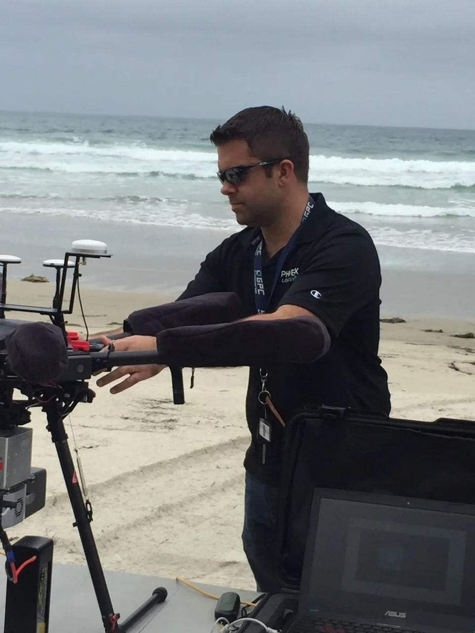
From active ports, maritime operations, and open-water vessel tracking to off-grid coastal surveys, steep canyon passes, and inaccessible terrain, Angel City Aerials captures heavy-duty imagery where standard operations hit a wall. Based in Los Angeles with crews distributed nationwide, we deploy specialized flight setups built to handle high winds, marine environments, and isolated locations. Whether operating off moving vessels or launching from remote trailheads, we execute precise, reliable flight paths and deliver clean, production-ready footage under demanding field conditions.
- FAA-Certified pilots
- fully Insured
-
TWIC
Certified















Maritime Passes & Offshore Tracking
What we've shot
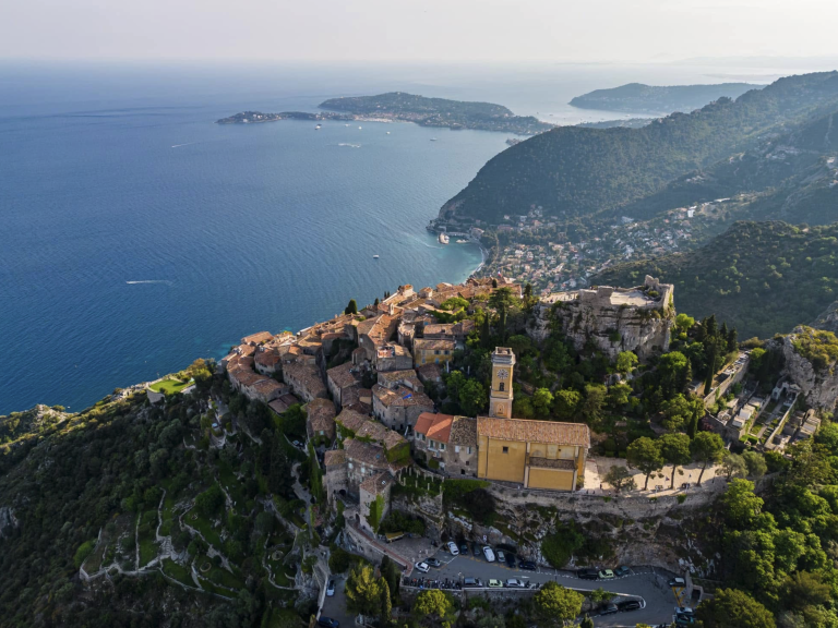
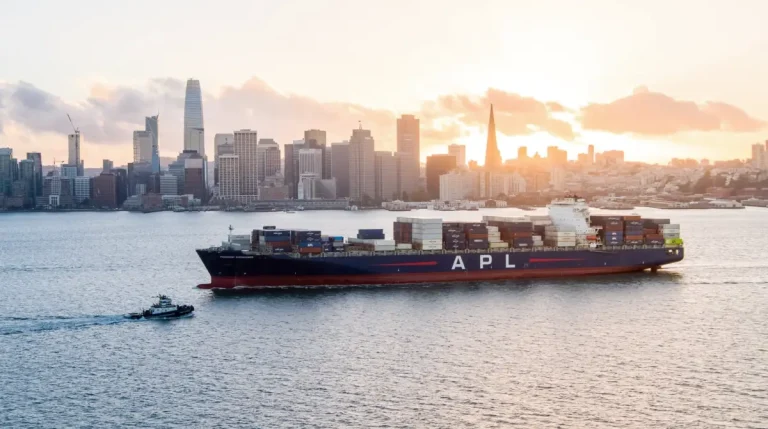
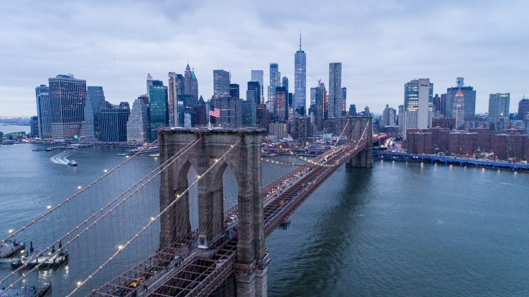
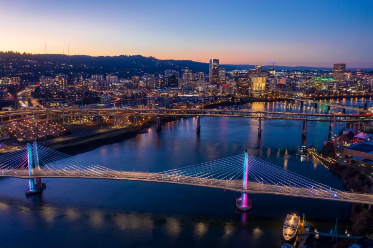
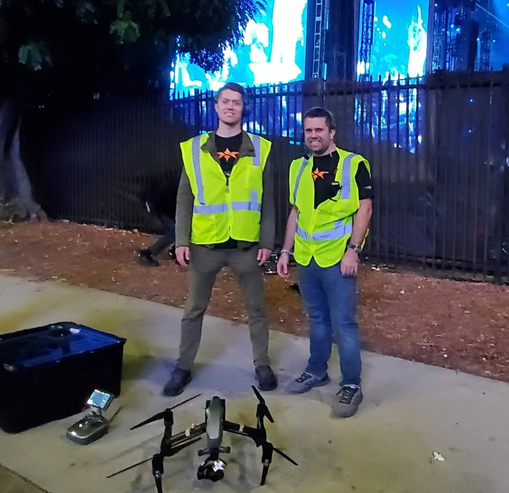
Explore our shots across active ports, open water, and rugged landscapes. We execute precise flight lines through high-exposure coastal environments and hard-to-reach terrain, backed by FAA permissions to operate across complex outdoor locations and packed open-air venues.


- FAA-certified pilots
- Fully insured
- High-resolution imagery
- TWIC Licensed
What We Do
Offshore & Vessel Operations
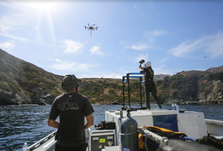
Execute high-precision launches, vessel-tracking passes, and landings from moving boats, yachts, and marine support craft.
Port Photography & Videography
Capture dynamic aerial visuals of active shipping terminals, container operations, industrial waterfronts, and cargo vessels navigating tight waterways.
Extreme & Remote Terrain Flying
Navigate steep elevation changes, wind gaps, canyons, and dense tree lines with stable, continuous tracking paths.
Action & Marine Sports Tracking
Follow fast-moving watercraft, offshore racing, mountain bikes, and trail vehicles across open water or rugged ground.
Coastal & Environmental Capture
High-resolution photo sets across coastlines, wetlands, cliffs, and hard-to-reach land features—delivered raw for photogrammetry, background plates, or custom site analysis.
Vessel Launches
Execute hand-launches and manual recoveries directly from moving boats, yachts, and marine support craft, delivering clean tracking passes across open water without relying on GPS land locks.
PAST CLIENTS







Coastal, Marine, and Rugged Environment Drone
Frequently Asked Questions
We use specialized hand-launch and hand-catch protocols along with GPS-disabled flight modes tailored for moving steel decks and marine interference, ensuring safe launches and recoveries in open water.
Yes. Our mobile setups include heavy-duty battery banks, rapid DC fast-charging systems, and portable generators, allowing us to maintain continuous flight rotations all day without access to grid electricity.
Yes. Our flight crews hold active Transportation Worker Identification Credentials (TWIC), allowing authorized access to secure maritime facilities, commercial shipping terminals, and restricted port zones nationwide.
Yes. We coordinate all necessary authorizations ahead of time, working with local harbor masters, coastal commissions, state parks, and federal agencies to secure compliant flight access.
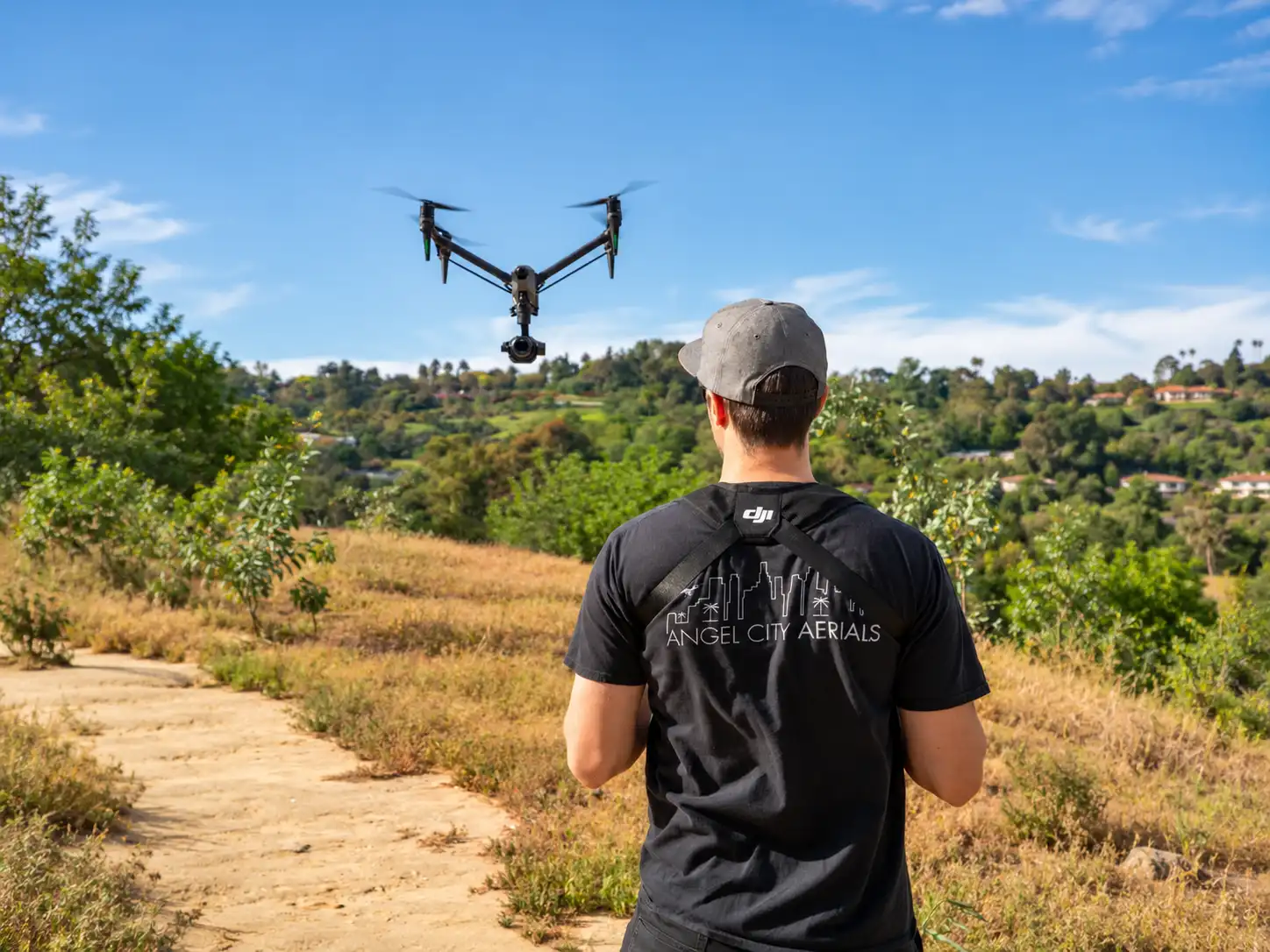
Showcase Every Property from Its Best Angle
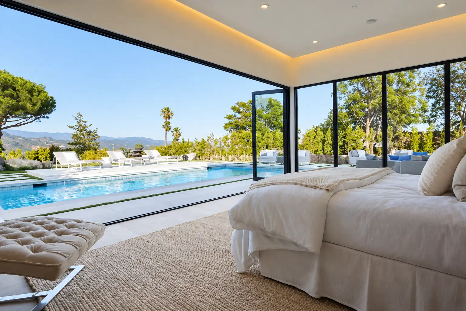
First impressions can make all the difference in today’s competitive real estate market. At Angel City Aerials, we provide professional drone photography, videography, and aerial inspection services that help properties stand out while delivering valuable visual insights.
Whether you’re marketing a luxury home, showcasing a commercial property, or documenting a new development, our FAA-certified drone pilots capture every detail with precision. From stunning aerial perspectives to accurate inspection imagery, we create high-quality content that helps buyers, investors, and property owners make informed decisions with confidence.
Why Choose Angel City Aerials
- FAA Certified Drone Pilots
- High-Resolution Photography & Video
- Safe & Efficient Drone Operations
- Fully Licensed & Insured
- Fast Turnaround Times
- Professional Editing & Delivery
Why Choose Angel City Aerials
- FAA Certified Drone Pilots
- High-Resolution Photography & Video
- Safe & Efficient Drone Operations
- Fully Licensed & Insured
- Fast Turnaround Times
- Professional Editing & Delivery







Los ANGELES Real Estate Drone FAQ's
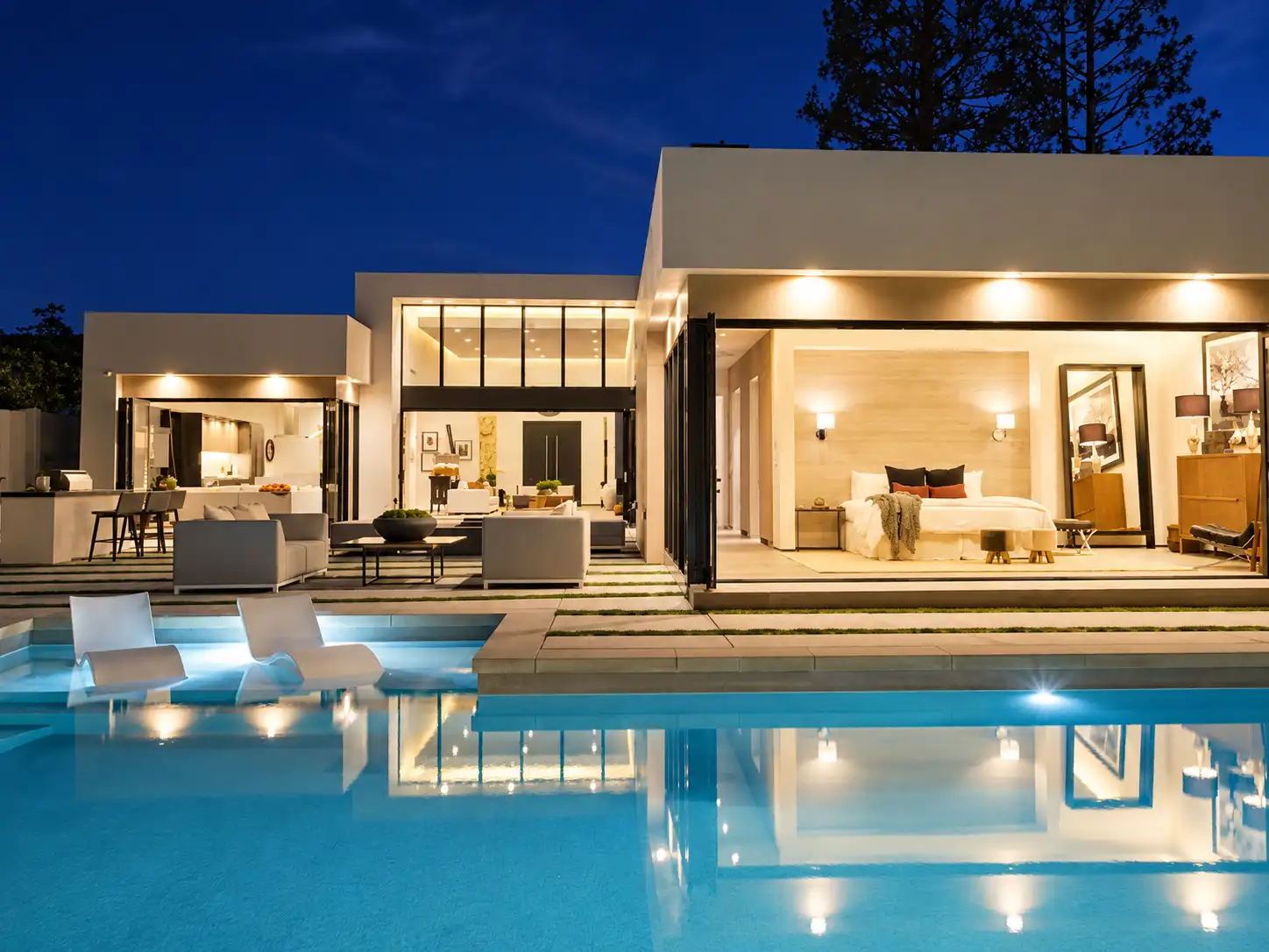
Drone photography gives prospective buyers a clearer view of a property’s size, layout, surroundings, and standout features. It is especially effective for showcasing expansive lots, luxury homes, commercial properties, views, outdoor amenities, and proximity to desirable Southern California landmarks or neighborhoods.
Requirements depend on the property’s location and the scope of the shoot. Properties near airports or within controlled airspace may require FAA authorization, while certain locations may also require property approval or a local filming permit. Angel City Aerials reviews the site in advance to identify applicable restrictions and determine whether the requested flight can be completed safely and legally.
Yes. We can capture detailed images of roofs, façades, elevated features, and difficult-to-access exterior areas. Our imagery supports visual review but does not replace an inspection, engineering assessment, or survey performed by a licensed professional.
We capture residential listings, luxury homes, commercial buildings, hotels, development sites, investment properties, large estates, and undeveloped land throughout Los Angeles and Southern California.
Ready to Showcase Your Property?
Whether you’re marketing a property, documenting a development, or scheduling an aerial inspection, Angel City Aerials is ready to deliver professional drone solutions that make every project stand out.