
Inaccessible & Coastal Terrain
Cliffs, shorelines, mountains, lakes, canyons, steep hillsides, and remote properties can be difficult—and sometimes hazardous—to document
from the ground. Angel City Aerials provides coastal drone photography and remote-terrain aerial imaging throughout Southern
California, helping clients see locations that cannot be fully understood from a road, trail, boat, or fixed viewpoint.
Professional drone imaging can reduce the need for preliminary access across unstable slopes, rocky shorelines,
elevated terrain, and large remote sites. It also provides a broader view of the landscape, making it easier to document
visible conditions, understand how features connect, and preserve imagery for future comparison.
Our Terrain Imaging Services
Coastal Inspections
Cliff & Remote Area Imaging
Environmental Monitoring
Infrastructure Documentation
Land Survey Support
Custom Drone Projects
PAST CLIENTS







Reach Locations Others Can't
Our Southern California terrain and coastal drone services can support property owners, engineers, contractors, environmental teams, production companies, land managers, and other professionals who need detailed visual coverage.
Projects may include:
- Coastal and shoreline drone photography
- Cliff, bluff, and hillside inspection imagery
- Mountain and canyon aerial photography
- Lake and reservoir documentation
- Remote property and undeveloped land imaging
- Visible erosion or storm-damage documentation
- Access-road and trail overviews
- Aerial mapping and three-dimensional models
- Film, television, and commercial location footage
- Recurring imagery showing changes over time
Why Choose Angel City Aerials
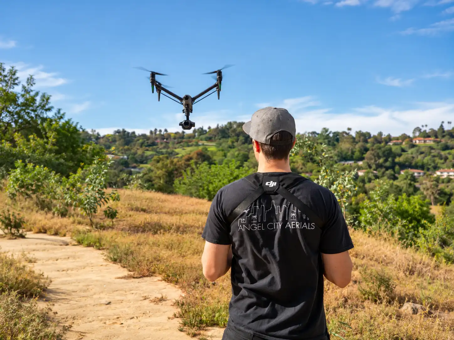
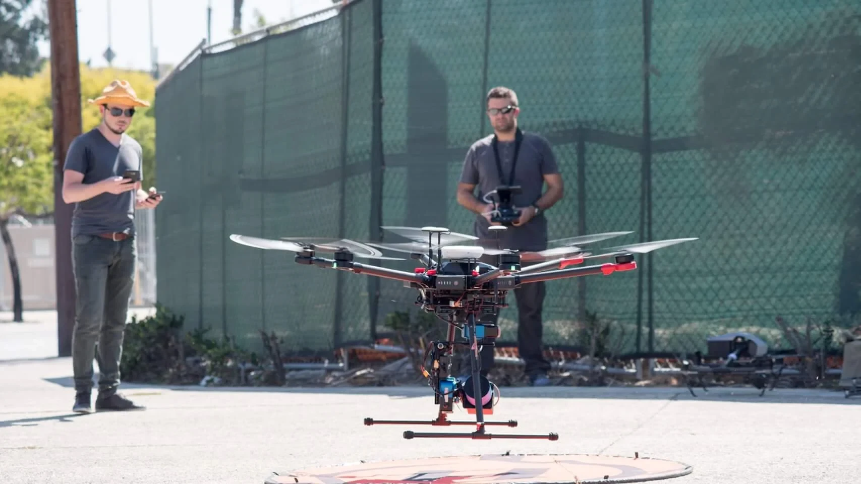
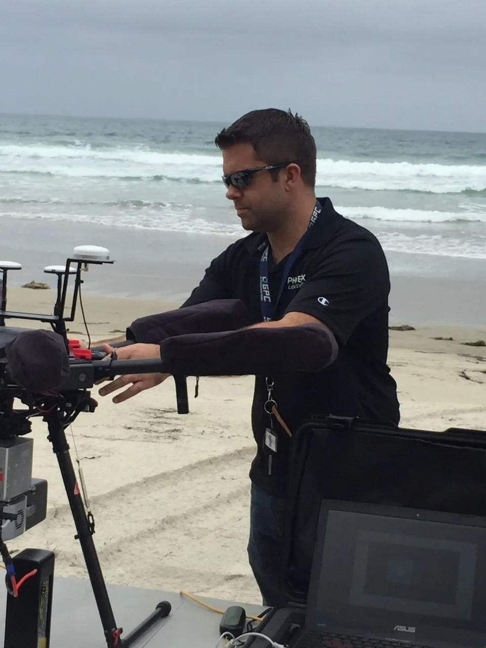
Our experienced drone pilots safely capture aerial data in challenging environments,
delivering reliable imagery without the risks of traditional access methods.
- FAA Certified Pilots
- Safe Remote Operations
- High-Resolution Imaging
- Reliable Project Delivery








frequently asked questions
Remote locations still require a suitable, authorized place for the pilot to operate. Before each project, we review the coordinates, elevation changes, topography, surrounding airspace, property boundaries, launch and landing access, expected weather, and areas that need to be captured.
Wind can change quickly near cliffs, mountains, and open water. Beaches, lakes, parks, and public lands may also be governed by different local, state, federal, or private drone restrictions. Our FAA Part 107-certified pilots evaluate these factors before determining whether and how the flight can proceed.
Yes, when the location provides lawful access, suitable operating conditions, and a flight path that can remain within applicable FAA requirements. Exact coordinates are needed to evaluate feasibility.
Sometimes. The answer depends on the airspace, managing agency, launch and landing location, environmental restrictions, and public activity. Some parks and protected lands prohibit or tightly restrict drone operations.
Yes. Recurring flights can capture shorelines, slopes, remote properties, or other landscapes from consistent viewpoints, creating a visual record for comparison after storms, construction, seasonal changes, or other events.
Ready to Capture Hard-to-Reach Locations?
Let our experienced drone team provide safe, efficient, and high-quality aerial solutions for your next project.