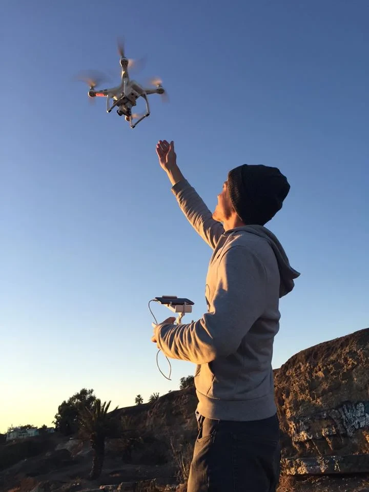
Los Angeles
Flying professionally in Los Angeles involves more than knowing how to operate a drone. The region contains major airports, controlled airspace,
crowded urban areas, active streets, protected locations, and numerous municipal jurisdictions. Commercial productions may also need filming permits,
insurance documentation, maps, operational plans, and proof of FAA authorization.
Our team begins by reviewing the project’s exact location, objectives, and intended deliverables. We then evaluate the airspace, site access,
surrounding activity, property permissions, and regulatory requirements before developing the flight plan.
PAST CLIENTS
Professional Drone Pilots in Los Angeles
Founded in Los Angeles in 2017, Angel City Aerials provides professional drone photography, cinematography, inspections, construction imaging, and aerial data services. Our FAA-certified and insured pilots combine local operating experience with the creative and technical capabilities needed for complex commercial projects.
From the first conversation through final delivery, clients work with an experienced team that understands both the creative vision and practical demands of commercial drone work. We tailor our approach to each assignment, communicate clearly throughout the process, and deliver polished imagery or actionable aerial data ready for editing, marketing, documentation, or analysis.
Our Services
Television & Film — Production-ready aerial shots for feature films, television, streaming, commercials, branded content, establishing shots, and VFX workflows.
Real Estate — Professional aerial photography and video for residential properties, commercial buildings, destinations, development sites, and land.
Construction Sites — One-time or recurring aerial documentation for progress monitoring, stakeholder updates, marketing, and long-term project records.
Industrial Inspections — Detailed imagery of rooftops, façades, facilities, infrastructure, equipment, and other assets that are difficult to inspect from land.
Inaccessible & Coastal Terrain — Imaging for hillsides, cliffs, shorelines, remote properties, and areas where access is limited or potentially hazardous.
Aerial Photogrammetry & Scanning — Aerial data collection supporting maps, three-dimensional models, visual analysis, planning, and site documentation.
Events & Custom Projects — Carefully planned operations for unusual locations, specialized equipment, complex capture requirements, or unique deliverables.
Why Choose Angel City Aerials
Angel City Aerials brings professional aerial expertise to projects of every scale and complexity.
Experienced pilots, careful planning, and professional equipment ensure dependable results from flight through final delivery.
- FAA Certified Pilots
- High-Resolution Imaging
- Safe Drone Operations
- Fast Project Delivery
Let's Discuss Your Project
424.253.5349.